Minister of Agriculture: Geomatics Engineering, a Strategic Lever for Land Security and Food Sovereignty
The Minister of Agriculture, Maritime Fisheries, Rural Development, and Water and Forests, Ahmed Bouri, affirmed today, Thursday, May 8, in Rabat, that geomatics engineering has become a strategic lever for land security, food sovereignty, and spatial planning.

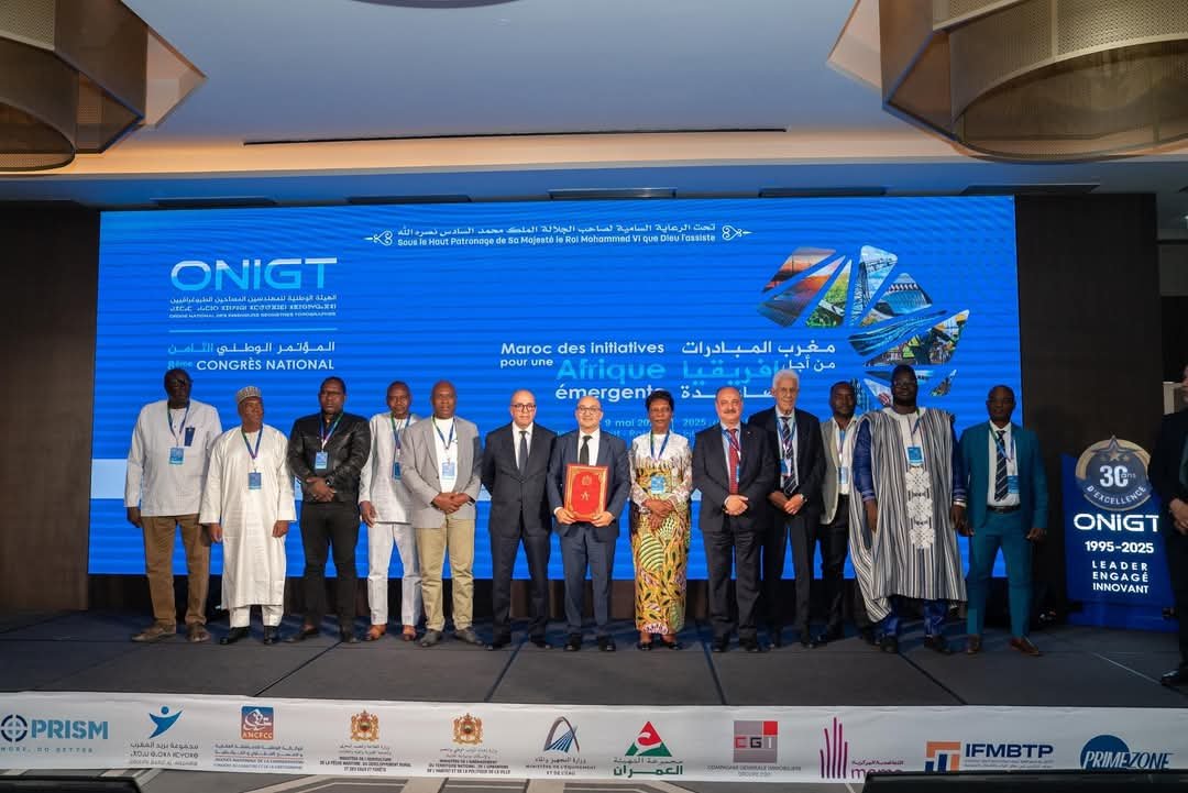
In his speech during the opening session of the 8th National Conference of the National Order of Surveying Geomatics Engineers, organized under the high patronage of His Majesty King Mohammed VI—may God protect him—Mr. Bouri highlighted the role of geomatics engineering in the sustainable management of natural resources and the integration of advanced technologies, such as artificial intelligence and remote sensing.
He added, “Therefore, I would like to reaffirm our firm commitment to strengthening cooperation with the Order, in continuity with the programs and projects initiated by our ministerial sector at the national and continental levels.”
The Minister pointed out that the theme of the conference, “Morocco of Initiatives for a Rising Africa,” perfectly reflects the Kingdom’s commitment to a united, integrated, and prosperous Africa, and highlights the strategic contribution of the geomatics profession in serving the continent’s development.

He explained that the contribution of geomatics engineering to the agricultural sector is well established, noting that the transformation of this sector relies on secured land bases, well-planned infrastructure, smart management of natural resources, and transparent territorial governance. All these aspects, he added, require accurate, integrated, and internationally standardized geospatial expertise.
In this context, Mr. Bouri recalled that the Ministry, which considers the Order and the profession as strategic partners, has engaged in structural projects where the contribution of surveying geomatics engineers is crucial to their success.
He emphasized that smart agriculture, as programmed in the “Green Generation 2020–2030” strategy, cannot be implemented without accurate, dynamic, and accessible land information, stressing that each geographical datum serves as a lever for action, making it necessary to establish robust geographic information systems, coherent data platforms, and close cooperation between public actors and surveying experts.
“We need precise maps to identify soil potential, topographic models to plan irrigated areas, satellite measurements to monitor crop growth, land registry data to secure exploitation rights, and geolocation techniques to improve distribution chains,” he said.
For his part, Khalid Yousfi, President of the National Order of Surveying Geomatics Engineers, highlighted that the 8th National Conference coincides with major challenges facing Africa, such as rapid urbanization, land pressure, climate change, infrastructure modernization, rural development, and land security.
He stressed that these challenges require a strategic vision, cooperation at all levels, and the mobilization of professionals, namely surveying geomatics engineers, who play a crucial role as key actors in spatial planning and the management of various spaces.
He added, “Through this conference, the Order reaffirms its commitment to engaging in a national and, naturally, continental dynamic, in close connection with our African sister countries.”
Mr. Yousfi also highlighted the importance of partnerships between the Order and various ministries, including the Ministry of Agriculture, Maritime Fisheries, Rural Development, and Water and Forests; the Ministry of National Territorial Planning, Urban Planning, Housing, and City Policy; and the Ministry of Equipment and Water.
He also mentioned partnerships with various public administrations, notably the National Agency for Land Conservation, Cadastre, and Cartography.

The opening ceremony was marked by the signing of a memorandum of understanding between representatives of the participating African surveying bodies, including Morocco, Benin, Burkina Faso, Cameroon, the Democratic Republic of the Congo, Côte d’Ivoire, Mali, Niger, Senegal, and Togo.
Before the opening, the first edition of the “African Conference on Surveying” was held Thursday morning, with the participation of 11 delegations from the continent. At the invitation of the Order, this session focused on the theme “Cooperation and Partnership for a Rising Africa,” and served as an occasion to establish the foundations for participatory land governance, promote complementarity between African states, and transfer technologies adapted to local specificities.
Presentations by Senegal, Côte d’Ivoire, and Morocco showcased how modernizing land management systems contributes to enhancing social stability and attracting investments.
The two-day conference program includes three panel discussions on “Land Security in Service of Agriculture in Africa,” “Spatial Planning and Land Governance,” and “Major Structuring Projects within the Framework of South-South Cooperation.”
It is worth noting that the geomatics engineering profession, by its multidisciplinary nature, covers several fields, including mapping, geodesy, agricultural land consolidation, urban subdivision, co-ownership systems, land demarcation, spatial planning, and construction works.
In 2024, the Order counted 1,239 registered surveying geomatics engineers, of whom 702 work in the private sector. Additionally, more than 700 partner companies contributed to creating over 15,000 direct jobs and 30,000 indirect jobs, achieving a turnover of nearly 3 billion dirhams, with annual investments exceeding 100 million dirhams.
This profession contributes to the success of major projects such as the high-speed train, renewable energy stations, ports, highways, the Green Generation Plan, new cities, and the stadiums and facilities for the 2030 World Cup.
#almouhitalfilahi